Why Arbaeen – the Shiite Muslim pilgrimage of mourning – has a deep significance that brings million
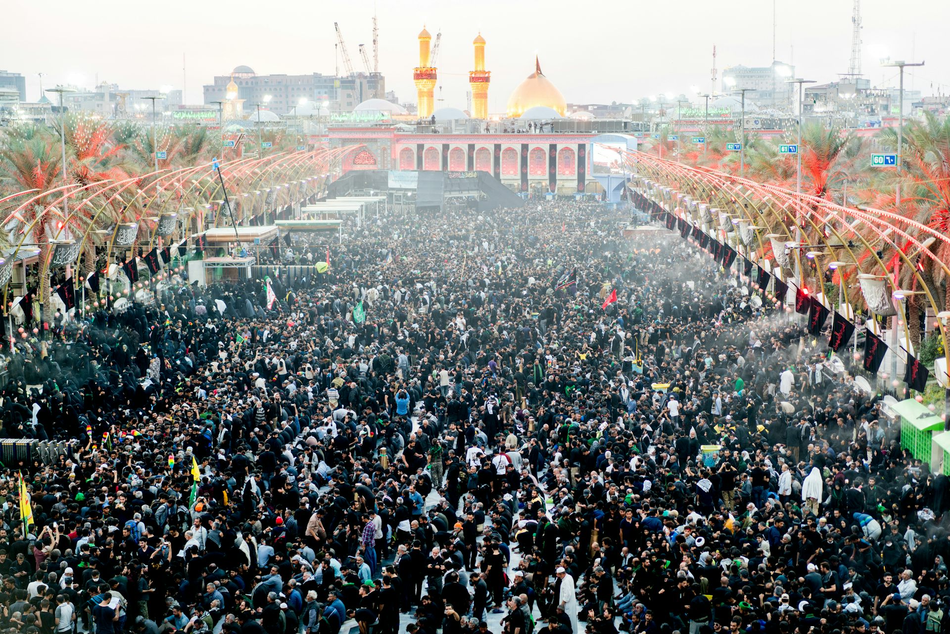
Each year, millions of Shiite Muslims walk to Karbala to honor Husayn, the prophet’s grandson, whose death continues to shape their faith.
Each year, millions of Shiite Muslims walk to Karbala to honor Husayn, the prophet’s grandson, whose death continues to shape their faith.


Conspiracy theories don’t just explain events – they identify villains, and Fauci is among the most popular.

Fresh off a divided Fed vote to hold rates, policymakers confront a deeper question: Which of conflicting inflation gauges should…

Amendment 3 would mean most homeowners pay less in property taxes – but that may not end up significantly lowering their costs.

As the rate of obesity in the US rises, transplant centers are debating whether to accept organ donations from the obese. A new study suggests that oversized hearts are safe to use.


Disproportionate rates of preeclampsia – a potentially dangerous pregnancy complication – in immigrant populations…

Philadelphia’s tap water meets federal drinking water standards but falls far short of public health goals when…
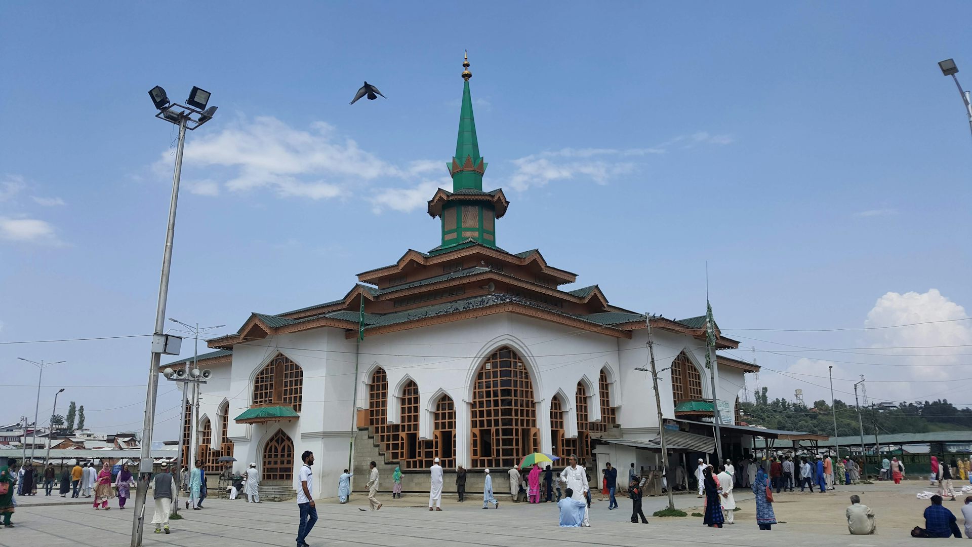
Kashmir’s history as a center of learning and the arts for Hindus, Buddhists and Muslims offers another way…